Featured
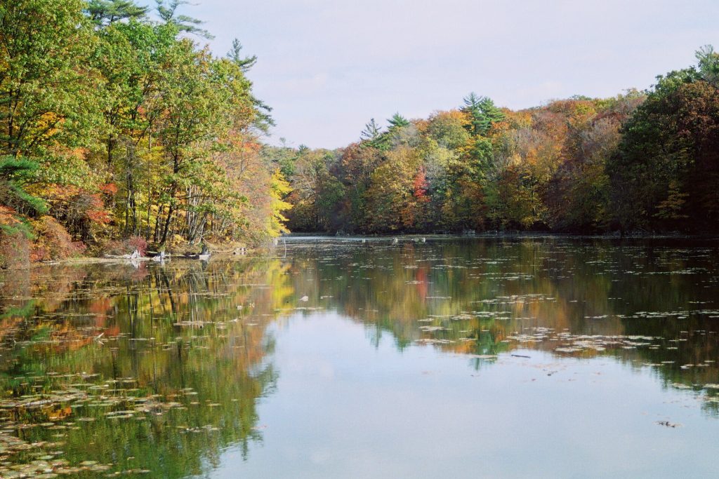
Springwater Conservation Area
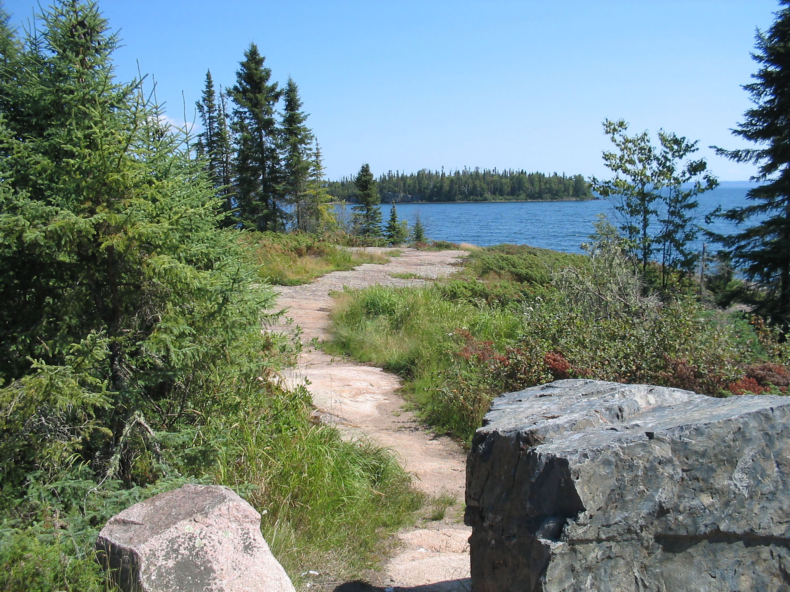
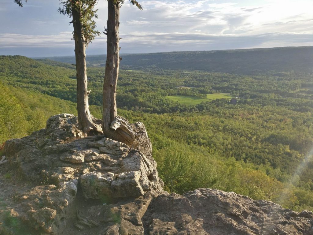
The Springwater Forest is the most popular with three main trails to discover covering eight kilometres...
More than 300 Conservation Areas just waiting to be explored. Maps, natural and cultural features, attractions, tips, and more!

Use our map to locate more than 300 Conservation Areas across Ontario. Plan your trip to any of Ontario's Conservation Areas based on Location, Activity, Facilities, Accessibility and more.

Join the Healthy Hikes challenge and take a hike at a Conservation Area near you!

Show us what you’ve been up to! Share your memories with us by uploading photos of hikes, wildlife, vistas, camping trips, selfies, and any other incredible outdoor adventures at Conservation Areas.

The Springwater Forest is the most popular with three main trails to discover covering eight kilometres...
This includes forests, wetlands, areas of natural and scientific interest, recreational lands, natural heritage and cultural sites, as well as, land for flood and erosion control.
There are more than 300 Conservation Areas across Ontario waiting to be explored. Plan your visit and #StepIntoNature #Healthy Hikes!

With towering limestone cliffs, caves and glacial potholes, it’s no wonder that Rockwood Conservation Area is…
For all you nature lovers who are looking for a quick escape from your busy lives,…
From bold-faced cliffs to beautiful views of the escarpment, Rattlesnake Point Conservation Area offers a fun…
Looking for a different kind of adventure? If you love hiking and rock climbing, Old Baldy…
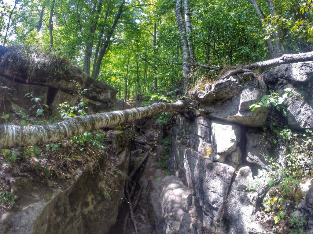
At Eramosa Karst Conservation Area, the park is filled with treasures including forests, meadows and underground streams.
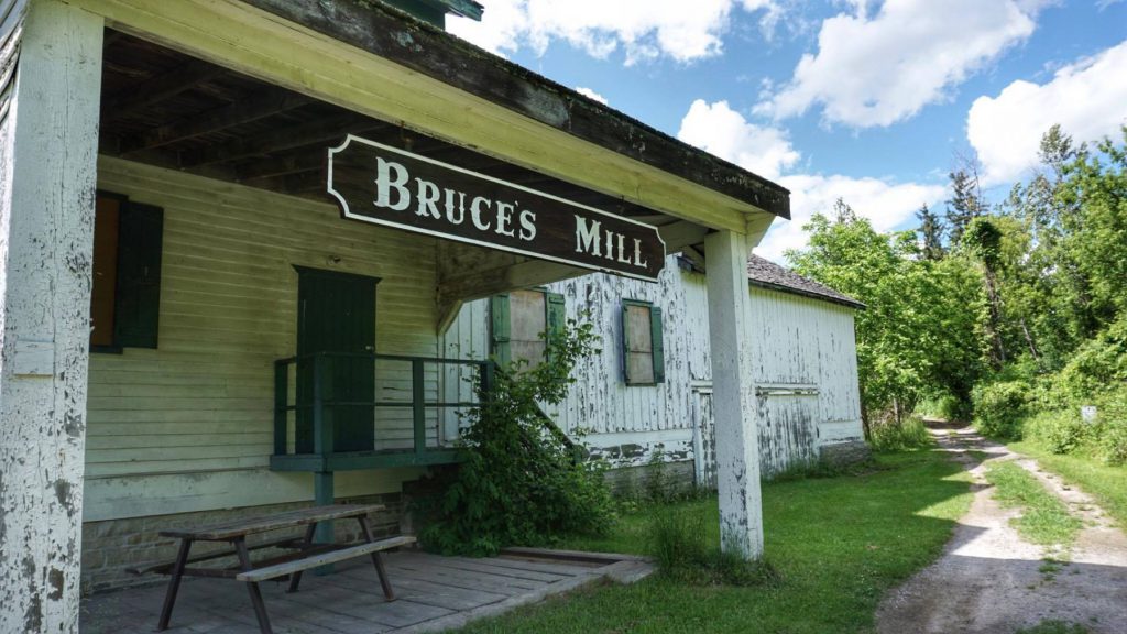
Looking for a fun place for a family outing? Head out to Bruce’s Mill Conservation Area in Stouffville…

More to do and see in Conservation Areas.
#StepIntoNature
Happy #FamilyDay! Use our online map to find your next adventure. Search by address, city, or activity. There are more than 300 Conservation Areas just waiting to be explored. 🌲🐦 #StepIntoNature #HealthyHikes ...https://ontarioconservationareas.ca/find-a-conservation-area/map/?utm_source=twitter&utm_medium=social&utm_content=ap_169c2nt9sw
Visit us at Booth #424 at the Toronto Outdoor Adventure Show from Feb 23-25! Get your free copy of the Ontario Conservation Areas Guide, while quantities last. https://ontarioconservationareas.ca/?utm_source=twitter&utm_medium=social&utm_content=ap_bzcmukqa8n #StepIntoNature #HealthyHikes ...#TorontoOAS 🌲🥾
Happy New Year! Wishing you an adventurous and productive year ahead. Let's start the year with a hike at Ontario's Conservation Areas. 🌲🥾#StepIntoNature #HealthyHikes #NewYear https://ontarioconservationareas.ca/find-a-conservation-area/map/
Wishing you many nature-filled adventures during the holiday season and beyond. 🎄#Christmas #StepIntoNature #HealthyHikes https://ontarioconservationareas.ca/find-a-conservation-area/map/
Fanshawe Conservation Area has so much to offer and they are only minutes away from London, Ontario. If you like camping, fishing, hiking, biking, canoeing - this is the place to be.
https://ontarioconservationareas.ca/find-a-conservation-area/things-to-do/
#StepIntoNature ...#HealthyHikes #stayontrails #natureforall #conservation #conservationarea #Ontario #DiscoverON #Canada #ExploreCanada #ExploreOntario #trails #trailrunning #nature #hiking #hikingculture #health #wildlife #naturelovers #instanature #instanaturelover #outdoors #getoutside #enjoycanada #tourcanada #ontarioparks #ontariocanada #ontariotravel
Did You Know?
At a Glance


