About This Area
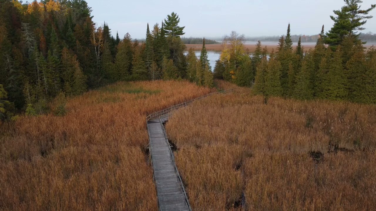
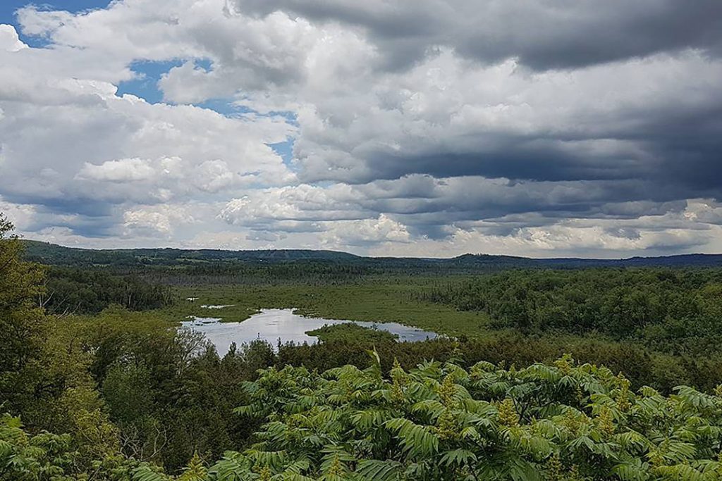
Ken Reid Conservation Area is a 110-hectare (272-acre) property that provides protection to forests, meadows and the provincially significant McLaren’s Creek Wetland. There are 12 interconnected trails that total almost 12 km. A favourite route includes the floating boardwalk. Amenities include a playground, picnic shelters, a group camping area, an off-leash dog park, a wetland-viewing platform, and The Talking Forest. As well, the Victoria Rail Trail intersects the conservation area, providing a direct link for rail trail users. Ken Reid Conservation Area is located 3 km north of Lindsay and can be accessed at 277 Kenrei (Park) Rd., at the north end of Angeline St. or from Highway 35.”
Activities


Amenities


Other Areas In This Conservation Authority
Durham East Cross Forest
Durham East Cross Forest Conservation Area is 540 hectares (1,334 acres) and growing. It is within...
Fleetwood Creek Natural Area
Fleetwood Creek Natural Area is a 380-hectare (900-acre) tract of land managed by Kawartha Conservation for...
Pigeon River Headwaters
Pigeon River Headwaters Conservation Area is a 125-hectare (308 acre) property situated partially within the Oak...
Windy Ridge
Windy Ridge Conservation Area is a 35-hectare (87-acre) property that offers an ideal spot to enjoy...