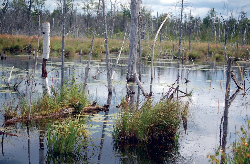
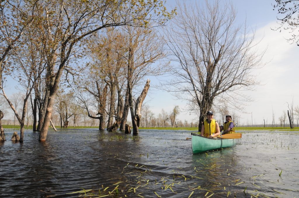
![Longwoods Road Conservation Area](https://ontarioconservationareas.ca/wp-content/uploads/2022/04/Longwoods-Rd-CA-1-scaled.jpg)
![Luther Marsh](https://ontarioconservationareas.ca/wp-content/uploads/2022/04/LutherMarsh-1024x671.jpg)
Luther Marsh
The largest wetland complex in southern Ontario.
![Macaulay Mountain Conservation Area](https://ontarioconservationareas.ca/wp-content/uploads/2022/04/Macaulay-Mountain-1024x682.jpg)
Macaulay Mountain
Lowland, Birdhouse City (managed by volunteers), steep escarpment, alvar, mixed forest
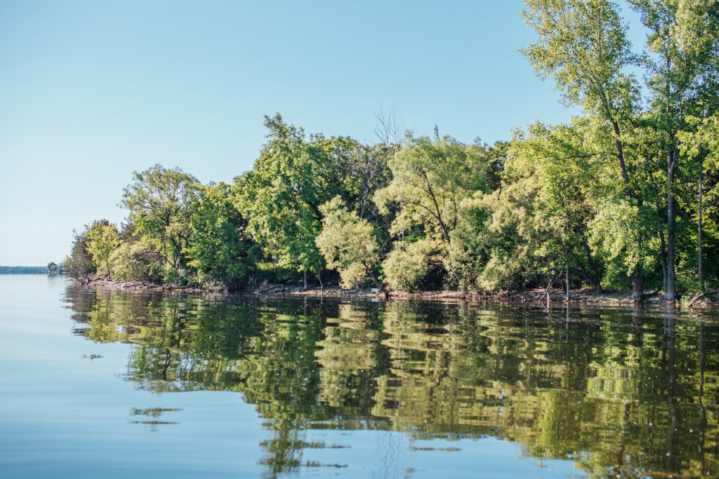
![Marks Bay Image](https://ontarioconservationareas.ca/wp-content/uploads/2022/04/Marks-Bay_Travis-Favretto_1024x768.jpg)
Marks Bay
The sandy St. Marys River shoreline is perfect for swimming and sunning or kayaking/canoeing.The forest creates...
![Massassauga Point Conservation Area](https://ontarioconservationareas.ca/wp-content/uploads/2022/04/Massassauga-Point-1024x683.jpg)
Massassauga Point
1,200 metres of shoreline fronting on the Bay of Quinte, alvar, bur oak savana, boat launch
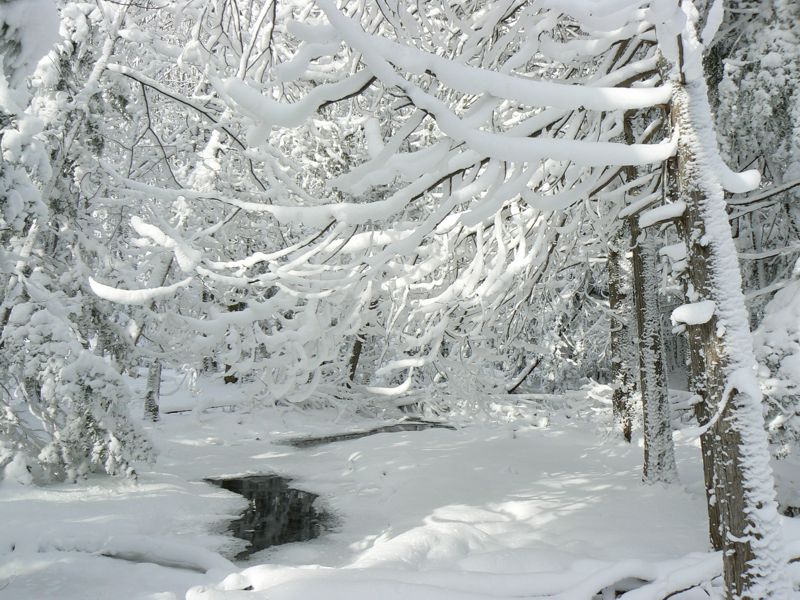
![Massie Hills](https://ontarioconservationareas.ca/wp-content/uploads/2022/04/Massie-Hills-Winter.jpeg)
Massie Hills
Massie Hills has over 8 km of trails to explore during the warmer months and in...
![Mattawa Island](https://ontarioconservationareas.ca/wp-content/uploads/2022/04/Mattawa-island-1024x682.jpeg)
Mattawa Island
Natural recreation area on the Mattawa River, finish of Mattawa River Canoe Race
![McGeachie](https://ontarioconservationareas.ca/wp-content/uploads/2022/04/McGeachie-CA-1024x768.jpg)
McGeachie
Newly developed walking trails, hardwood forest, rental cottage, beaver pond, stream
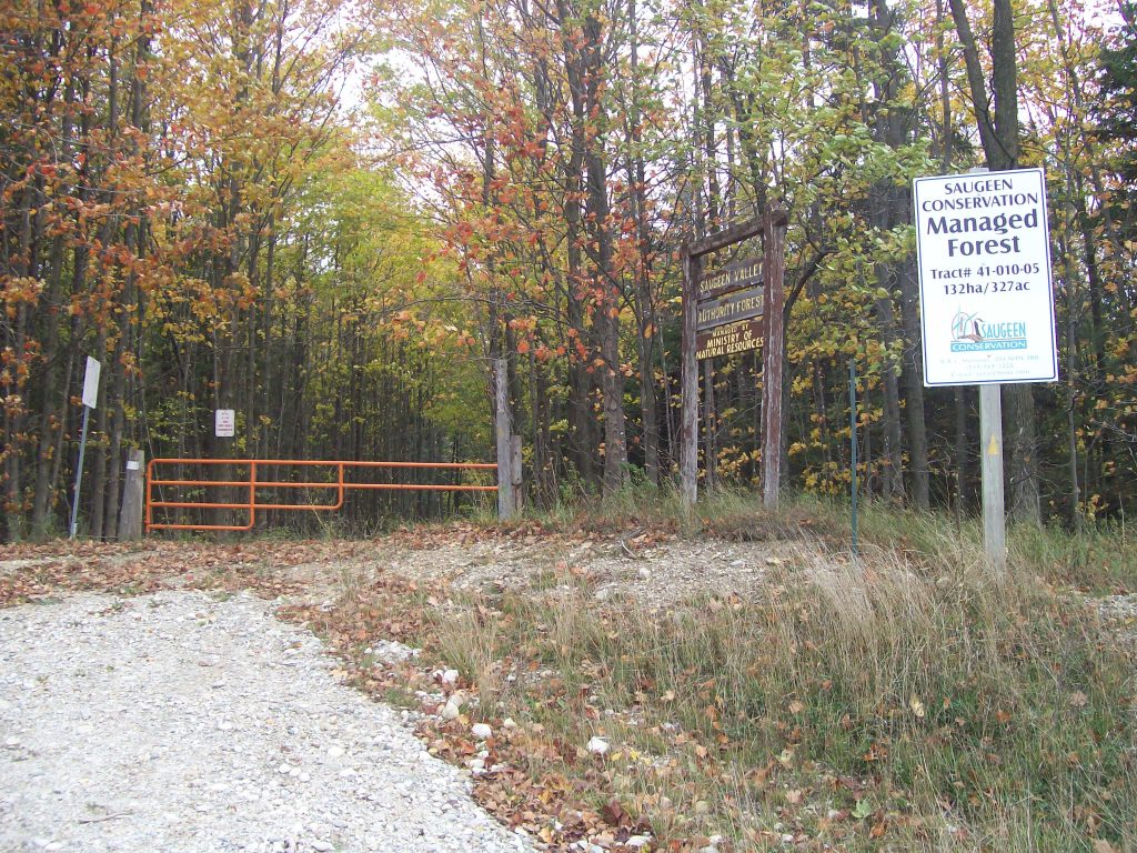
![Mildmay-Carrick CA](https://ontarioconservationareas.ca/wp-content/uploads/2022/04/Mildmay-Carrick-1024x768.jpg)
Mildmay/Carrick
This Managed Forest property consists of gently rolling terrain. It has a large component of upland...
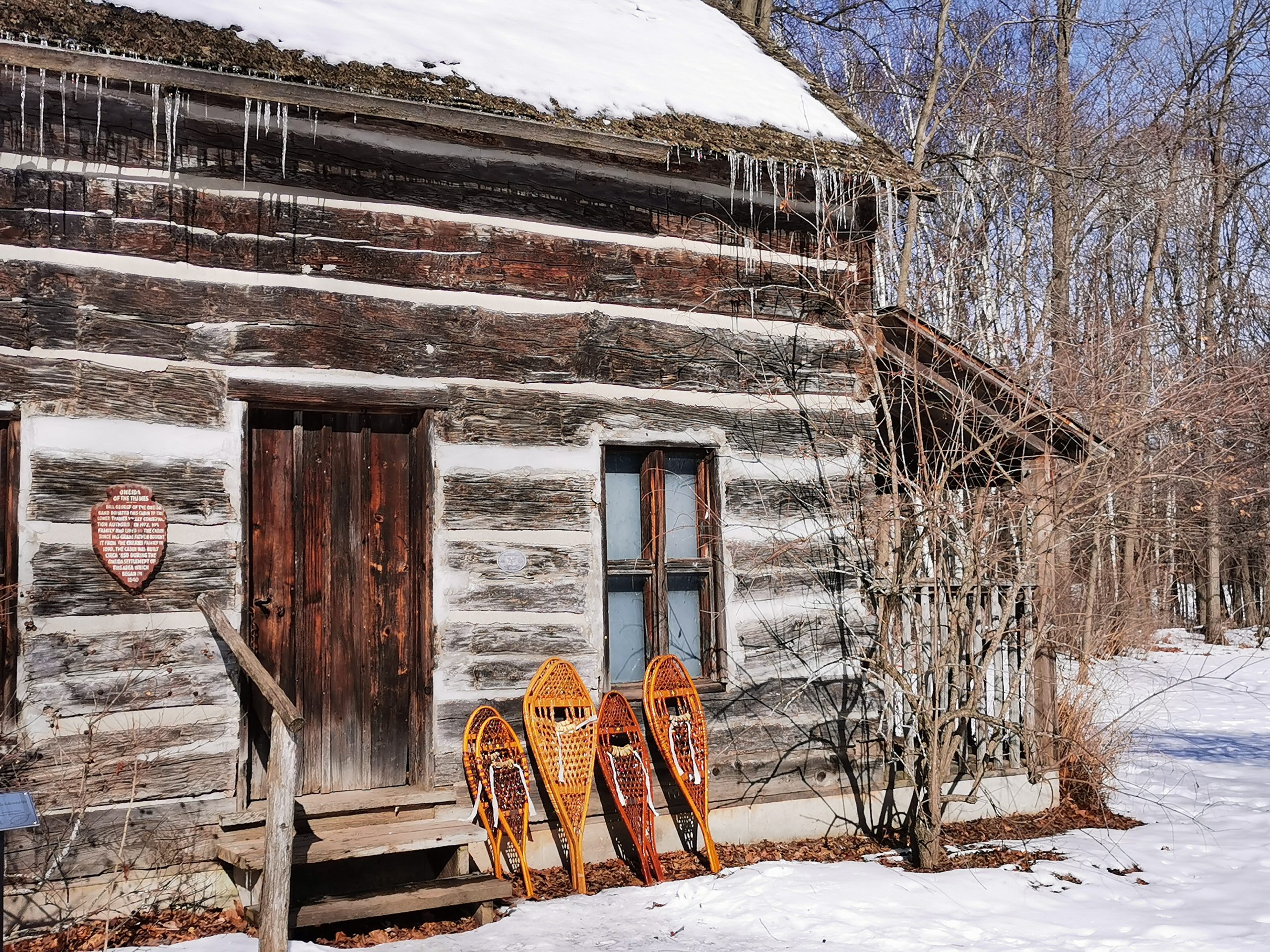
![Mill of Kintail Conservation Area](https://ontarioconservationareas.ca/wp-content/uploads/2022/04/Mill-of-Kintail-CA-1024x768.jpg)
Mill of Kintail
Museum/historical building,McKenzie/Naismith collection, Indian River, education programming, summer day camps
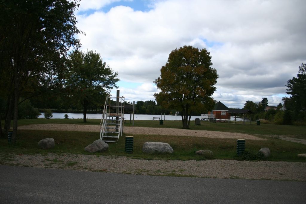
![Mill Pond Conservation Area](https://ontarioconservationareas.ca/wp-content/uploads/2022/04/MillPond2-1024x768.jpg)
Mill Pond
Trails through managed forest area around Mill Pond, including historic sugarbush facilities
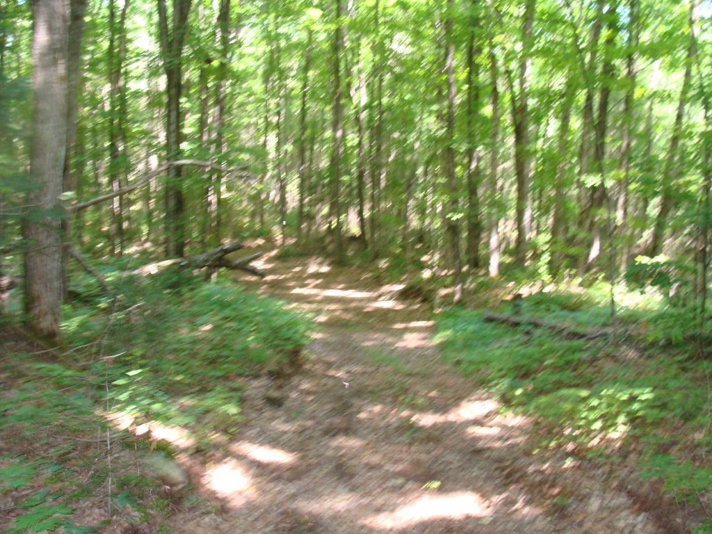
![Mills Block](https://ontarioconservationareas.ca/wp-content/uploads/2022/04/Mills_Block_001-1024x684.jpg)
Mills Block Forest
Mills Block Forest is a 284 hectare forest that offers a 4 km hiking trail. Walk...
![Minesing Wetlands CA](https://ontarioconservationareas.ca/wp-content/uploads/2022/04/Minesing-1024x680.jpg)
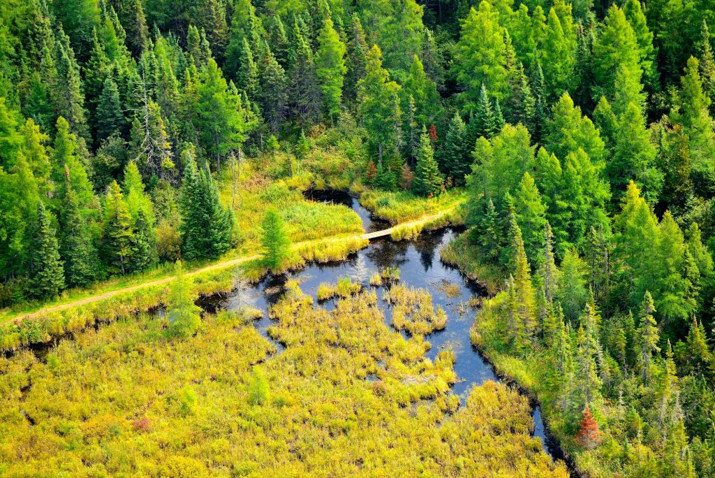
Minesing Wetlands – Waterfowl Viewing Platform
This 12′-high Waterfowl Viewing Window offers a bird’s eye view of the wetland and its inhabitants....